

Many of the ancestors on my father’s side (Smith, Hurt, Lannom, Jordan) were from Tennessee so it’s helpful to be able to consult vintage maps to determine which counties and towns were in existence at a particular time. Here are some of the ones I’ve found for Tennessee.
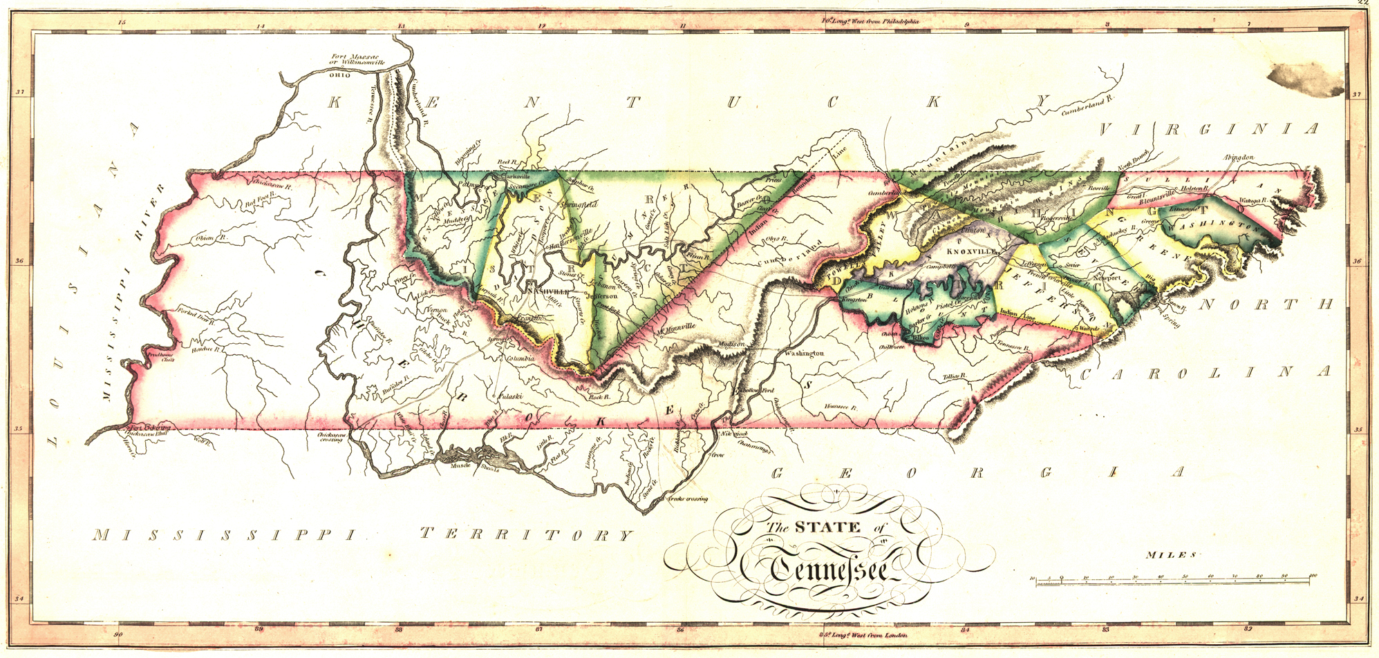
1817 Map of TN, from Samuel Lewis Atlas, 1817. Source: https://www.loc.gov/item/2003627040/

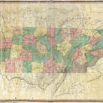
1818 Map of Tennessee
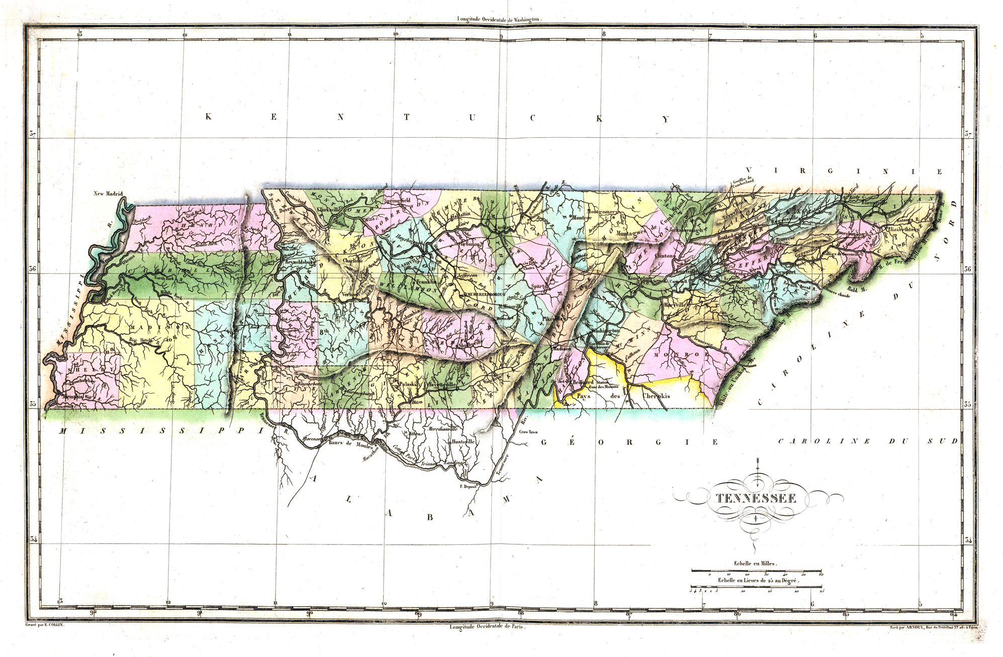
1825 Tennessee Map

1826 Map of Tennessee, Lucas, Fielding, Jr., (1781-1854). Source: https://www.loc.gov/item/2003627038/

1827 Finley Map of Tennessee, A New General Atlas, wiki commons
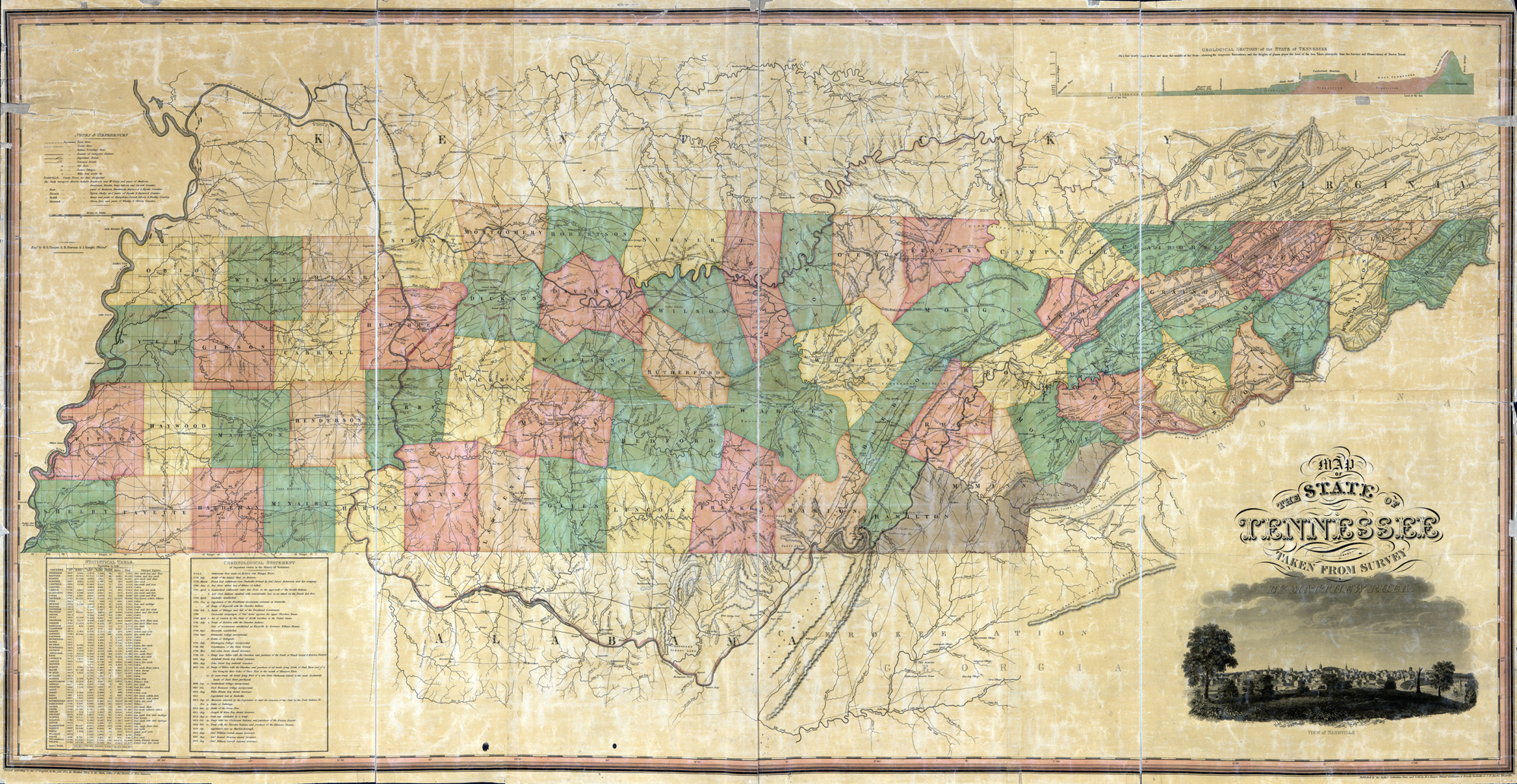
1832 Map of Tennessee, Columbia, TN, Matthew Rhea. Source: https://www.loc.gov/item/2011588000/

1863, Lloyd’s official map of the State of Tennessee, New York, JT Lloyd. Source: https://www.loc.gov/item/99448806/
TrackBack URL
https://www.karenfurst.com/blog/tennessee-maps-for-genealogists/trackback/