

My Smith ancestors left Virginia in the 1820s, probably traveling along the Wilderness Road through the Cumberland Gap to Tennessee. Here are some sources I’ve gathered while I’m learning about their journey.
Images
Sources:
- Florida Center for Instructional Technology at http://etc.usf.edu/clipart/
- Library of Congress at https://www.loc.gov/

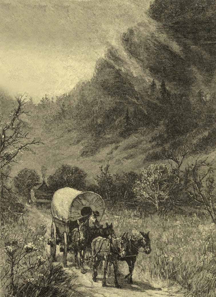
Cumberland Gap by Harry Fenn, Harry, 1838-1911, artist, 1872, LOC

Cumberland Gap, Famous Leaders and Battle Scenes of the Civil War, 1896, Frank Leslie
“Cumberland Gap and Heights, Tenn., from the Kentucky side. Cumberland Gap was a place of such importance during the war as to be constantly the object of operations on both sides, who indeed alternately held it. Like Harper’s Ferry, it was deemed a strategic point of great value; but the fact that no action took place, and that its evacuation was compelled by distinct movements, tend to modify this idea. It is a natural gap in a mountain, 80 miles long, or rather the only natural gap, although other points bear that name. Cumberland Gap is 150 miles southeast of Lexington, Ky. The mountain is here 1,200 feet high, but the notch is a cut nearly two-thirds of this, the road through the gap being only 400 feet high. On the southern or Tennessee side this mountain is abrupt, and in some places perpendicular, and the summit almost inaccessible, except through the gap. The northern or Kentucky side is more irregular, breaking off in a sucession of smaller mountains and hills to the Valley of the Cumberland. Our sketch shows the Kentucky side.”— Frank Leslie, 1896
Wilderness Road, Almost 300,000 pioneers passed through the Cumberland Gap between 1760 and 1850

Daniel Boone blazed the Wilderness Trail into central Kentucky and built Fort Boone, soon renamed Boonesborough. Source: Benson John Lossing, ed. Harper’s Encyclopedia of United States History (vol. 1) (New York, NY: Harper and Brothers, 1912)
Video
This one is more of a commercial for Virginia tourism, but it has a nice map animation that shows the route settlers took.
This one is done by students, but it’s pretty good:
TrackBack URL
https://www.karenfurst.com/blog/migration-out-of-virginia-the-wilderness-road-and-cumberland-gap/trackback/