

My husband’s great-grandfather, Frank L. Fay, was a Pennsylvania state senator from 1926 to 1934. In 1929 he was instrumental in pushing through legislation to fund the creation of the Pymatuning dam.
The Pymatuning Dam is located on the Shenango River in near the Crawford-Mercer County line in western Pennsylvania, about 17 miles from the Fay home in Greenville. The swampy area was once settled by the Seneca Nation of the Iroquois Confederacy who hunted the wetlands. Pronounced “pie-ma-tun-ing,” the name translates to “the crooked-mouthed man’s dwelling place” with “crooked-mouth” referring to a deceitful person rather than facial disfigurement.
European trappers explored the area in the 1700s in search of valuable beaver pelts and other fur-bearing animals. Later, the lush forest attracted lumbermen who especially prized the strong, straight trunks of the white pines that were used to construct masts for sailing ships.
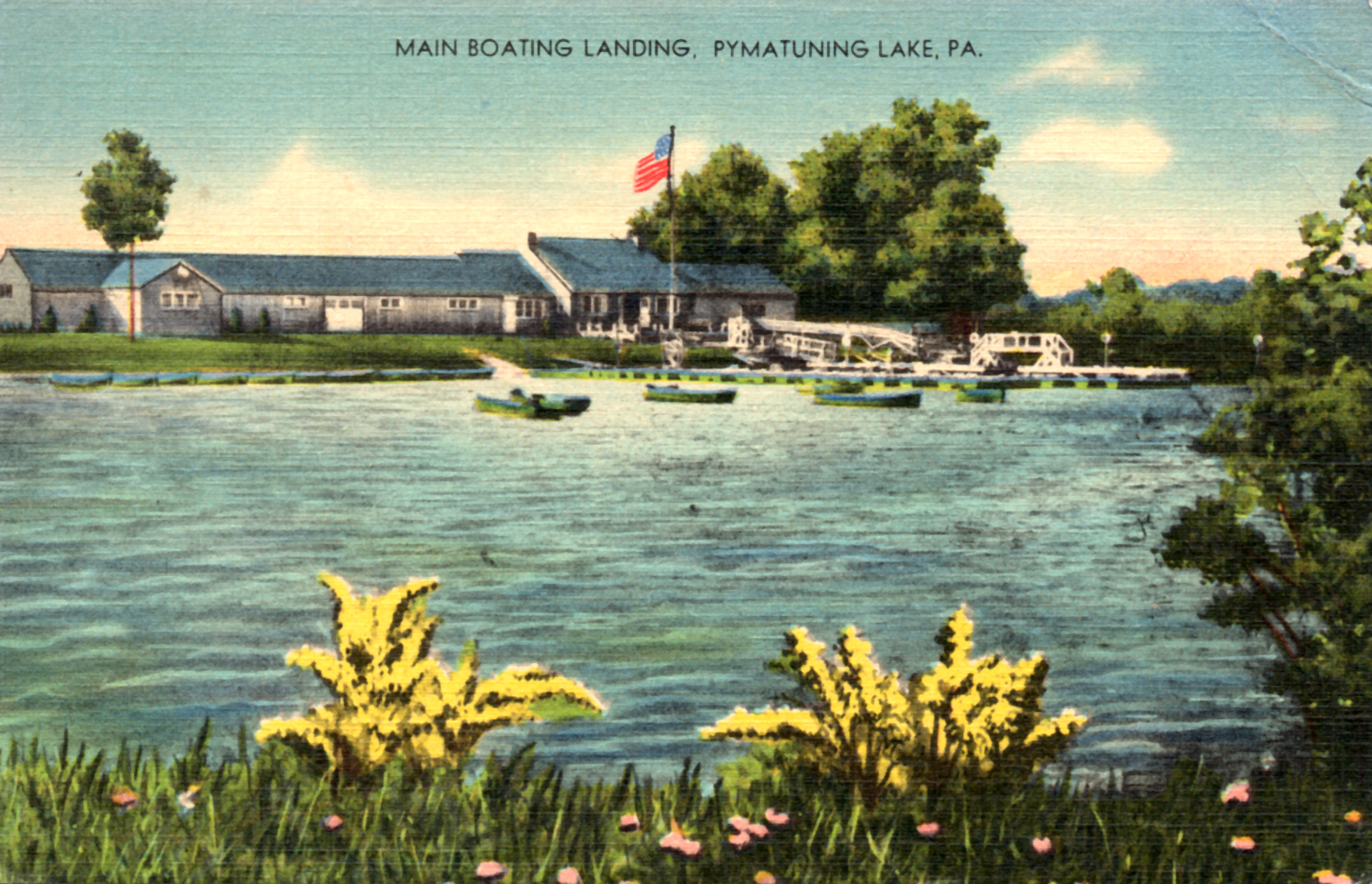
Main Boating Landing, Pymatuning. Postcard, Furst Family Archives.
The Native American Treaty of 1785, signed at Fort Stanwix by the Wyandot and Iroquois, deeded the area north of the Ohio River to the Commonwealth of Pennsylvania and afforded opportunities for settlement, mostly by emigrants from Connecticut and New York. During the 1800’s, pioneer farmers attempted to settle the vast swamp but this proved difficult. Eventually they succeed in growing onions and other root crops.
In 1868 the Pennsylvania General Assembly commissioned a survey and an estimate of the cost to drain the swamp to create farmlands. However, the project was not pursued because it would cripple the industries downstream in the Beaver and Shenango valleys.
The idea of building a dam on the Shenango River–thus flooding the swampland rather than draining it–was first explored in 1911. The dam would create a lake to conserve waters entering the Pymatuning Swamp, regulate the flow of water in the Shenango and Beaver rivers, provide a water supply for the Shenango and Beaver valleys, to lessen the damage caused by floods, and ultimately to provide recreation for the people of Ohio and Pennsylvania.
The project became more urgent in 1913 after a massive flood caused $3 million in damage and took several lives. The Pennsylvania General Assembly passed “The Pymatuning Act,” approving a budget of $1.2 million to build the dam, but Governor John K. Tener slashed the budget to just $100,000.
Little progress was made until 1917, when the Pennsylvania legislature approved a $400,000 budget under the condition that the needed land in Ohio be purchased by the private sector. The Pymatuning Land Company was formed and raised the funds to purchase the needed Ohio properties. In 1921 the first land purchases were made and were acquired in full by 1931 when Governor Gifford Pinchot approved $1.5 million to complete the dam.
Ground breaking ceremonies for the dam were held on October 6, 1931. Newspapers from the time describe the happenings.
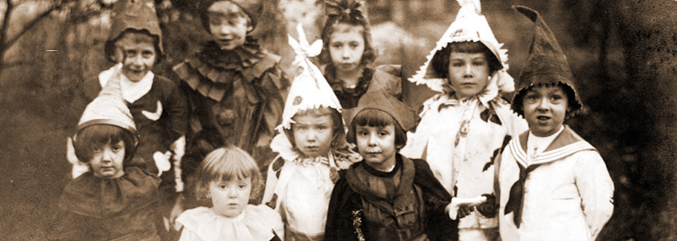
“Colorful scenes marked the celebration. An automobile parade from Sharon through flag-decked streets and highways was joined by gaily-decorated floats and hundreds of cars at Greenville, Jamestown and other towns along the route. The airship “Akron,” largest lighter-than-air craft in the world, circled majestically overhead during the exercises. Bands and escorts of school children dressed in costume added zest to the festivities.”
Twenty thousand spectators from a dozen counties watched as Governor Gifford Pinchot, “wielding a nickel-plated spade,” broke ground at the dam site.
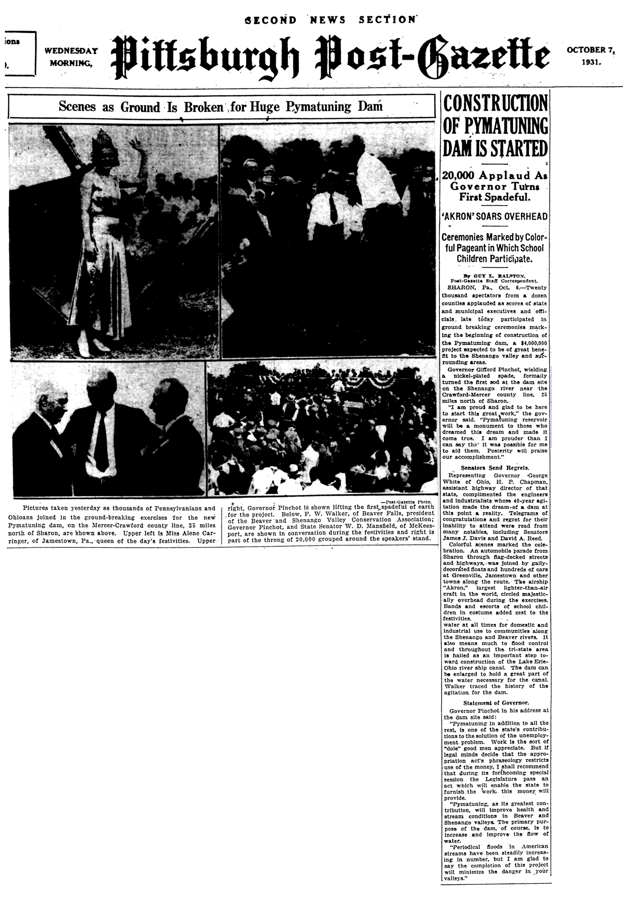
“Construction of Pymatuning Dam is Started,” Pittsburgh Post-Gazette (Pittsburgh, Pennsylvania), October 7, 1931, p. 15; Google News, (http://news.google.com/newspapers?id=7Y9RAAAAIBAJ&sjid=iGkDAAAAIBAJ&pg=5455%2C2798628).
The dam took 3 years, 7,000 men, and a final total cost of $3,717,739. The lake it created is 16 miles long with 70 miles of shoreline, contains 17,000 acres of water, and is the largest body of water in Pennsylvania. It lies partly in Ohio, has a capacity of 64.3 billion gallons and a maximum depth of 35 feet.

Pymatuning State Park Map
Today, Pymatuning State Park comprises over 21,000 acres in Conneaut, North Shenango, Pine, Sadsbury, South Shenango, West Fallowfield and West Shenango Townships, Crawford County, Pennsylvania. A three-mile causeway extends between Pennsylvania and Ohio near the center of the lake. The lake provides fishing and boating year round and is home to many forms of wildlife.
In 1935, the Civilian Conservation Corps (CCC) built Camp NP-11-PA at Pymatuning. The young men of the camp built buildings, roads, fought fires and performed many other jobs.
Thank you for the history lesson!
Thanks for the history of “Pammy”! One would think that local history would be taught in our school system. I graduated in 1969 and I didn’t learn anything about it in the public or private local schools. You have indeed provided a valuable public service online. Thank you again.