Couches Creek, Lunenburg County, Virginia
My ancestor, Edward Jordan, secured a grant for 654 acres of land along Couches Creek in the newly formed Lunenburg County, Virginia, in 1748.
In 1720, Thomas Couch, Sr., received a land grant in Brunswick County (now Lunenburg County, formed in 1746) along what is known today as Couches Creek.
Couches Creek
Zip code: 23952
Latitude: 36.9587612 N
Longitude: -78.320552 W
GNIS ID: 1465282
Zip code: 23952
Latitude: 36.9587612 N
Longitude: -78.320552 W
GNIS ID: 1465282
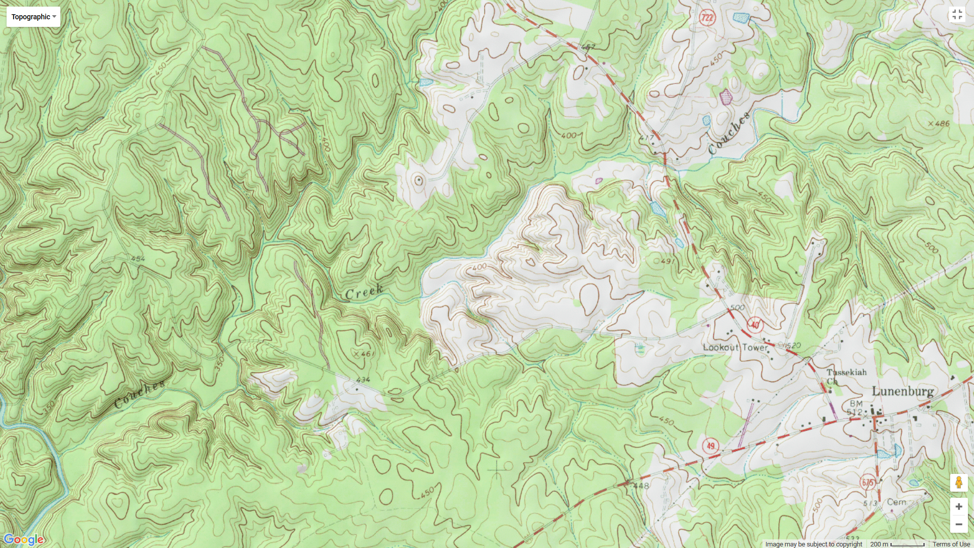
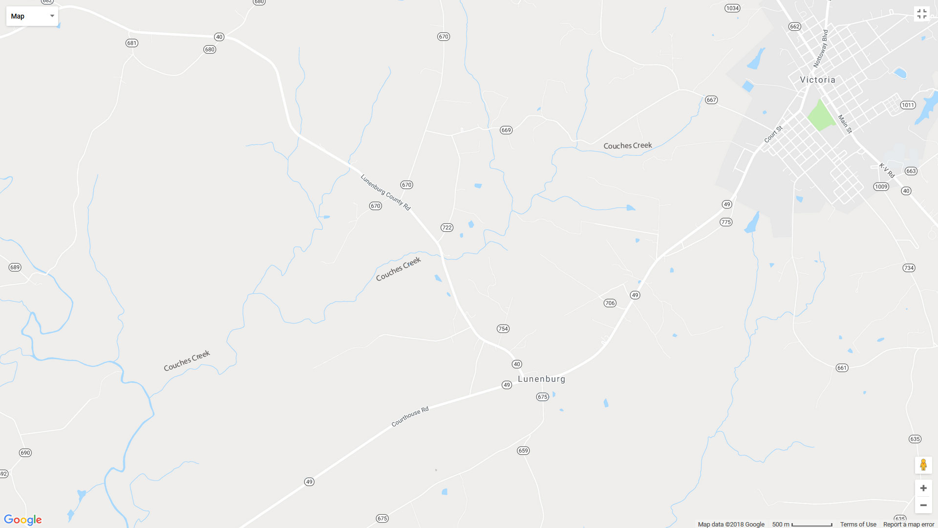
Couches Creek runs from near Route 667 out of Victoria, VA, west to the North Meherrin River, traveling north of Lunenburg and passing under Route 40/Lunenburg County Road.

That’s pretty much all I was able to find on Couches Creek. If you have anything to add, please leave a comment!